There are a couple of starting points for the walk in to Carrington Hut, both routes are straightforward but there are several or more river crossings. The shortest is from the road end at Klondyke Corner and takes around four hours and involves a lot more gravel bashing in it's early stages as well as repeatedly fording the Waimak. The track in from the true right of the Bealey River bridge although nearly an hour longer, is in my opinion a superior route with a mixture of bush, grassy river flats and importantly very little gravel bashing. This is the route we took. As can be seen from the map, with a few extra days the trip possibilites from here are endless.

From the small and rather untidy parking area we followed the well marked trail which climbs some 50m or so away from the river before finally dropping back down to the valley floor at the start of Turkey Flat. The track stays high on Turkey flat avoiding the nasty scrub that covers it's lower section. Two hours from the car park saw us at the Anti Crow Hut, in fine warm weather where we stopped for a good lunch in the sun. The hut book mentions that there is currently a rat problem at this hut, most likely due to the large amount of rubbish which can be found around the hut site.
 Crossing Turkey Flat.
 Carol plus Bump at the Anti Crow Hut.
The track continues directly behind the hut, passing the original Anti Crow Hut site, where a plaque has been placed. We then crossed the Anti Crow River, which was very low. This river has claimed several lives when it has been in flood. After crossing the Anti Crow roche mountonee the marked trail ends back in the river valley.
 Information at the original Anti Crow Hut site.
 On the Anti Crow Rouche Mountonee.
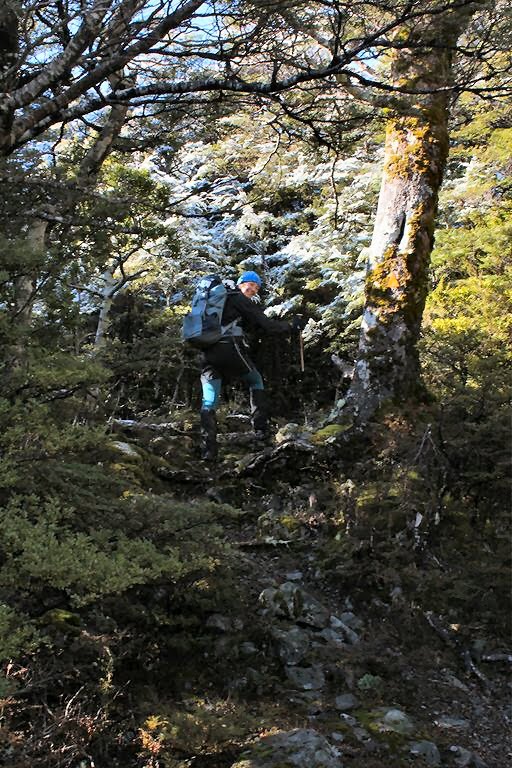
From here it is a gravel bash until Greenlaw Creek. The river curves a lot here so we took a line of sight approach which involved fording a couple of channels but everything was low anyway. Beyond Greenlaw Creek the track (which was destroyed in the Arthur's Pass earthquake) has been recut. This made for very pleasant travel and it sticks to the forest until the last 1km or so of flats before the hut.
 Looking down valley to the big bend before Greenlaw Creek.
The day had clouded in somewhat by that time, a wind was falling off the mountains and it started to rain so we were grateful to find a warm hut, with an Australian couple there. They had walked in the previous day and had walked up as far as Campell Creek before the weather had set in. At 36+ bunks, Carrington is a huge hut with two living areas and four bunk rooms. Luckily the two living areas are seperate meaning that we only had to heat half of the hut in the cold weather.
It snowed overnight, but the weather cleared and Sunday was a stunning blue sky day. We were up early enough to see the sun hit the mountains and spent a while taking some photo's around the hut area.
 Carrington Peak just after dawn.
 Looking towards the Mottram Peaks from near Carrington Hut.
 Carrington Hut.
 Mount Campbell.
 Morning sun on Carrington Peak.
 Waimakariri River Valley.
We walked out by the same route, the snow on the ground persisted nearly as far as the Anti Crow Hut, before the sun finally got the better of it and it turned in to a very warm spring day. The hut book at Anti Crow recorded 5 people there overnight, so it was a good job that we didn't decide to stay there (along with the rats).

Looking back towards Mount Campbell.

Track section near Greenlaw Creek.

Carol and Mount Campbell.

Mount Stewart.

Fording one of the Waimak river channels.

Heading back towards the Anti Crow Hut.
Had a reasonably adventurous trip back as well, after having a tyre blowout on the old west coast road which was a real pain in the backside to change, luckily the good pies we'd just had in Sheffield kept us in a good mood back to Christchurch.