Sep 30, 2011

Kahikatea at Pelorus Bridge


New Zealand's tallest tree, Kahikatea or White Pine at Pelorus Bridge.

Sep 29, 2011

Totaranui

Back at Totaranui after 4 years and 11 months. Still as beautiful as ever. I had forgotten how the sand can really be so orange, the sky and sea so blue and the bush so green.
Walked over to Goat Bay and collected mussels for dinner off the same rocks as 5 years ago. Even managed a nice little run up the Headlands Track in the morning.


Carol and Bump on the beach.


Beach wildlife.


Tree Ferns on the Abel Tasman track.


Curious campsite Weka.


Sunrise over Totarauni Bay.


Looking towards the Headlands.


Looking towards Skinner Point and Goat Bay beyond.


First swim (well dipping head under) of the season.

Wharariki Beach and Cape Farewell

Wharariki Beach is a wild beach on the west side of farewell spit. A 20 minute walk from the road end through the farm park brings you to spectacular sand dunes and perfect views out to the Archway Islands.


Afterwards we walked up to Cape Farewell, we walked up from the road end but it is also possible to link Wharariki Beach, Cape Farewell and Farewell Spit by foot.


The track to Wharariki Beach through the farm park.


Wharariki Beach from the sand dunes.


On Wharariki Beach.


On Wharariki Beach.


The Archway Islands.


Looking north towards Cape Farewell.


The view from Cape Farewell.


Farewell Spit from Cape Farewell.


Cape Farewell, the nost northerly point of South Island.

Sep 28, 2011

Farewell Spit

Farewell Spit is a wildlife sanctuary and access to the spit itself it restricted to organised tours, however the first few kilometres are free access. Because it is so large it is difficult to grasp the true scale of the spit. Walking on the 'outside' you only see a couple of kilometres or so, because of it's curve. Walking on the inside is better and more sheltered.


The best place to actually see Farewell Spit is from the small hill just behind the visitor's centre, which is high enough to see the full length. Most of the area around here is a farm park, - whilst we were there it was lambing season and there were loads of delightful baby lambs about. We stayed at a camping ground in Puponga which is only a few minutes away and has a beautiful beach in it's own right.


Cute lamb at Farewell Spit Farm Park.


The inside beach at Farewell Spit.


And the outside beach.


Battling the wind near Fossil Point.


Battling the wind near Fossil Point.


Farewell Spit Farm Park.


More lambs at the Farm Park.

I
The Spit from above the visitor's centre.

Sep 27, 2011

An attempt on Balloon Hut

We had planned on walking in to Balloon Hut for the night, from the end of the Cobb Reservoir, but, without ice axes the late season snow got the better of us.


The drive in to the Cobb Valley is spectacular in it's own right, 20kms or so of steep sided valley, river and native bush. Just before the final descent to the reservoir itself, a viewpoint gives a great view of it’s whole length.


The Cobb Reservoir from the Cobb Dam road.

The track to Balloon Hut would, without snow, be very easy. It is well benched and marked. The first part climbs easily to Mytton's Hut, just 15 minutes from the start and then through open bush to eventually reach the Bushline on the Peel Range. There was snow here too, but having been in the sun all day it was soft.


Looking north west up the Cobb Valley.


Mytton's Hut, 15 minutes in to the walk.


First easy snow above the bushline.

However we never got much further than the otherside of the ridge, just far enough to get a glimpse of Lake Peel. Here the track had been transformed in to a snow bank, which although only very moderately angled was solid ice with a long run out. With numerous slopes like this to cross as we would have rounded Lake Peel, we had no sensible choice except to backtrack.


Mount Peel and the Lake Peel bain.


The route to Lake Peel - doesn't look too tough does it?

We camped at the campground just down from the start of the walk. This established, but basic DOC campsite had toilets and picnic tables and was a great place to spend the night, though a strong gale billowing down off of the ranges kept us awake for a while.


Cobb Valley camping ground, right on the edge of a weather front.


Cobb Valley camping ground, tuesday morning.
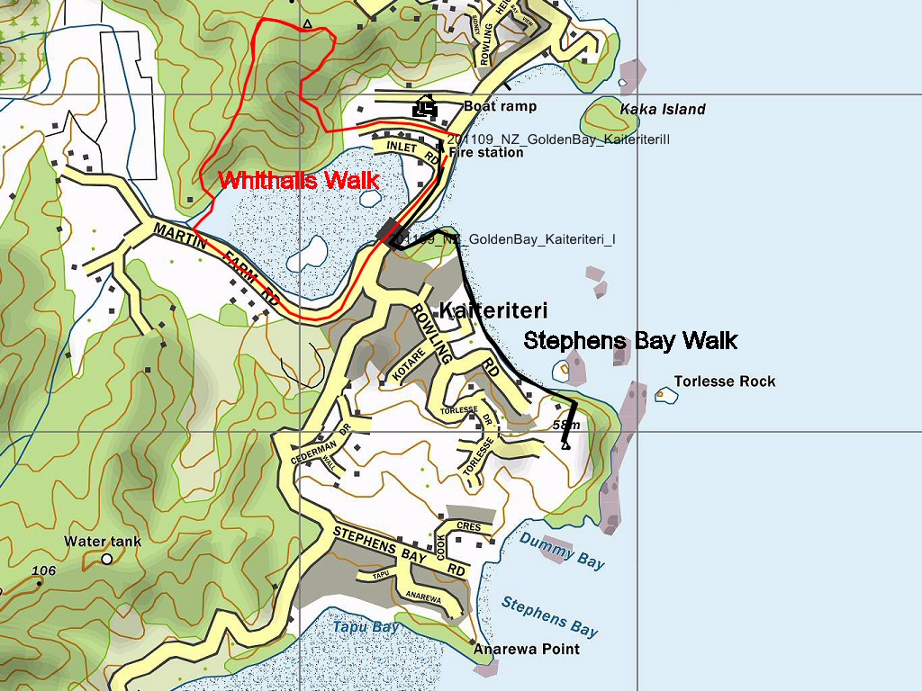
Sep 25, 2011

Ngarua Caves and Harwoods Hole

Continuing on up to Farewell Spit, we stopped off at the Ngarau Caves and then walked to Harwoods Hole in the afternoon. The karst landscape has created some spectacular natural features in this area.


The cave tour is only $15 and is really good value. Harwoods Hole is spectacular, but it is difficult to grasp the scale of such a large feature when you are so close to it. A quick glance at the map gives the true scale of this depression in the ground. A better viewpoint is from the short side trip nearby overlooking The Gorge Creek.


Ngarua Caves.


Ngarua Caves.


View from the top of Takaka Hill.


Carol and Teresa at Harwoods Hole.


One view of the Harwoods Hole.


Teresa at the viewpoint overlooking The Gorge Creek.

Sep 24, 2011

Short Walks from Kaiteriteri

On the way up to Golden Bay, we stopped off at Kaiteriteri. This would definitely be way too crowded for me in the summer, but at the end of September it was almost deserted.


The are a range of short walks and MTB tracks from here. On the Saturday evening we walked part of the Stephen's Bay track and then on Sunday morning went for a nice stroll around the estuary which is made up of the Whithall's Walk.


Kaiteriteri Bay.


Kaiteriteri Bay from the start of the Stephen's Bay Walk.


Young seal pup in the estuary.


Kaiteriteri Beach at night.


Ducks at the campground.


Kaiteriteri Estuary from the Whithall's Walk.